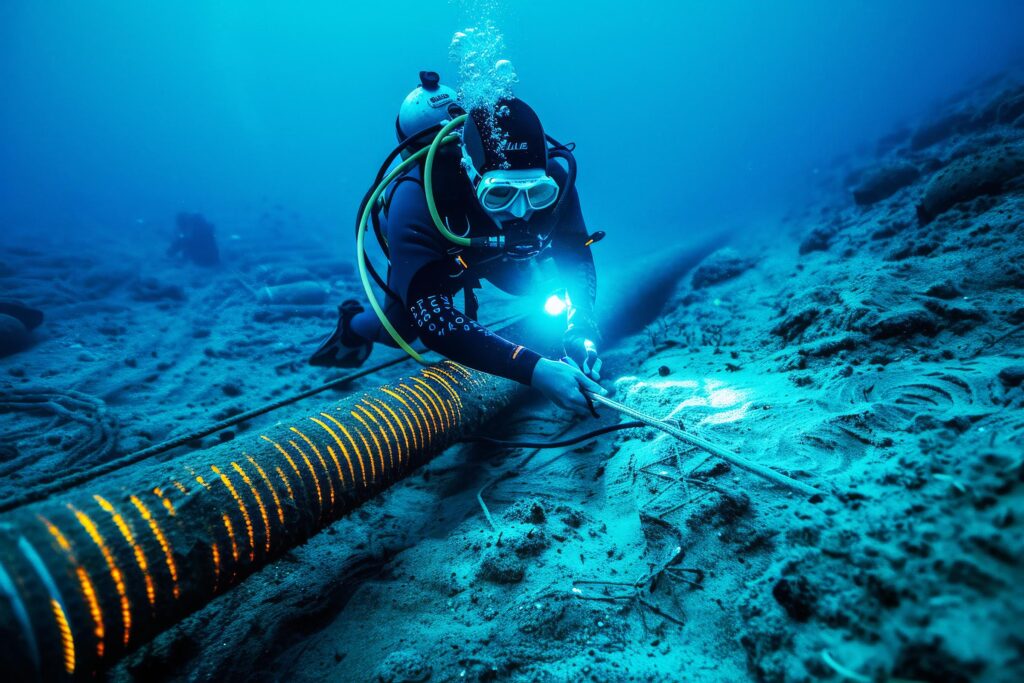
Weaponising Subsea Infrastructure has made the Seabed the next Strategic Battlespace
The conflict in the Strait of Hormuz and other flashpoints around the world such as the North Sea and the South China Sea has exposed some uncomfortable truths about defence and monitoring of the seabed.
For decades, maritime security has focused on what happens above the water. Navies track vessels, satellites monitor shipping lanes, and intelligence agencies analyse radar, aircraft and communications. Yet some of the world’s most strategic assets lie beneath the surface.
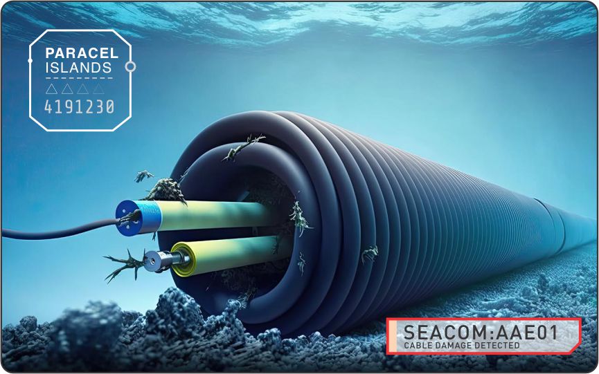
Fragile undersea communications cables carry most global internet traffic. Seabed sensors monitor critical maritime approaches. Energy infrastructure crosses contested waters. These assets underpin economies, defence operations and national security, yet remain largely invisible to traditional surveillance.
To Iran, subsea cables represent an almost ideal target because they are difficult to defend and expensive to repair.
Zaid M. Belbagi, Arab News
The Strait of Hormuz illustrates the challenge. As one of the world’s most strategically important maritime chokepoints, it supports constant commercial, military and intelligence activity. While attention is focused on surface movements, the greater question is often what is happening on the seabed.
If a subsea cable is disturbed, or an unknown sensor appears, and activity develops around critical infrastructure, organisations need more than disconnected datasets. They need trusted real-time spatial and observational intelligence.
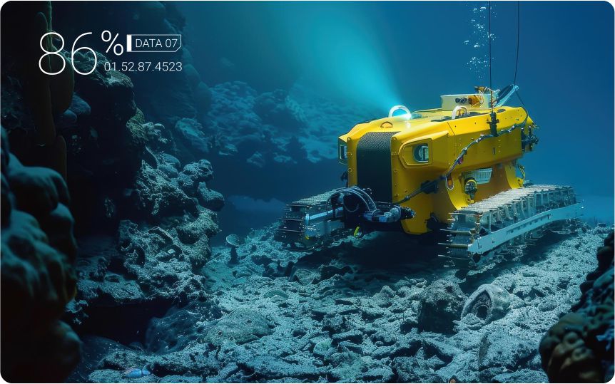
SynTerra IQ brings together geospatial data capture, subsea sensing, synthetic subsea persistent twins and AI driven reasoning into a single sovereign platform. Our high-fidelity littoral and marine subsea capabilities including hydrographic studies, multibeam and side-scan sonar, magnetometers and remotely operated systems create a trusted baseline of the underwater environment, with every dataset validated and confidence scored.
This information feeds a continuously evolving subsea observational model and synthetic subsea environment, integrating bathymetry, cable routes, maritime boundaries, vessel activity, environmental conditions and subsea infrastructure into a live operational picture.

A vessel loitering near critical infrastructure may appear routine in isolation. Analysed alongside seabed assets, historical behaviour and environmental conditions, it may signal elevated risk. By analysing spatial and temporal patterns, GeoAI identifies anomalies, prioritises threats and supports evidence-based decision-making. Rather than simply visualising data, SynTerra IQ reveals relationships that would otherwise remain hidden.
Every insight is backed by provenance, traceability and confidence scoring, enabling analysts and commanders to understand not only what the platform recommends, but why.
As strategic competition extends beneath the surface, the seabed is becoming a critical operational domain. Success will depend on the ability to see, understand and act with confidence—while maintaining sovereign control over the data, models and intelligence that support every decision.
The next battlespace isn’t simply the ocean.
It’s the seabed.