Australia's first sovereign geospatial intelligence platform.

SYNTERRAIQ
ABOUT US
See the complete picture. Take decisions with confidence.
This focus on leveraging advanced technology—like AI, automation, and data-driven insights—to help businesses or individuals overcome challenges and achieve unprecedented growth. Below are some key details that could be associated with this statement. AI algorithms analyze your business needs and automatically. Tailors responses based on user behavior to help businesses and individuals overcome challenges and achieve Real fond attachment.
Five specialist capabilities. One integrated platform
Each capability can stand alone, but together they form a holistic geospatial operating system
Our Platform
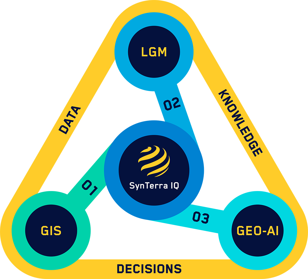
Unified Geospatial Intelligence Engine
Services
What SynTerra IQ does for your organisation


Capture and Validate
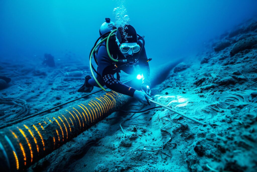
Turn surface and subsurface environments into validated, decision-ready spatial intelligence — so your teams act on ground truth, not assumptions

Model and Unify
Our geospatial AI model decodes complexity — unifying fragmented data into coherent patterns that surface insights your teams can act on.

Visualise and Simulate
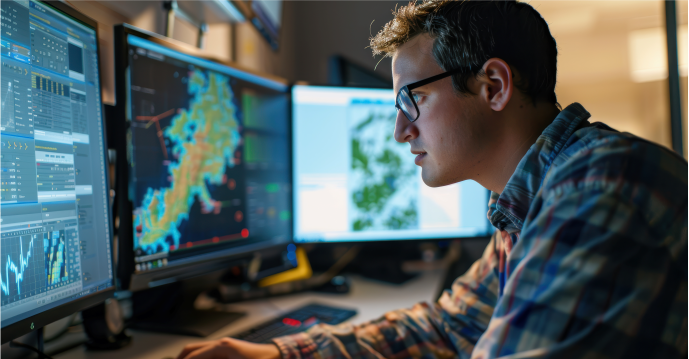
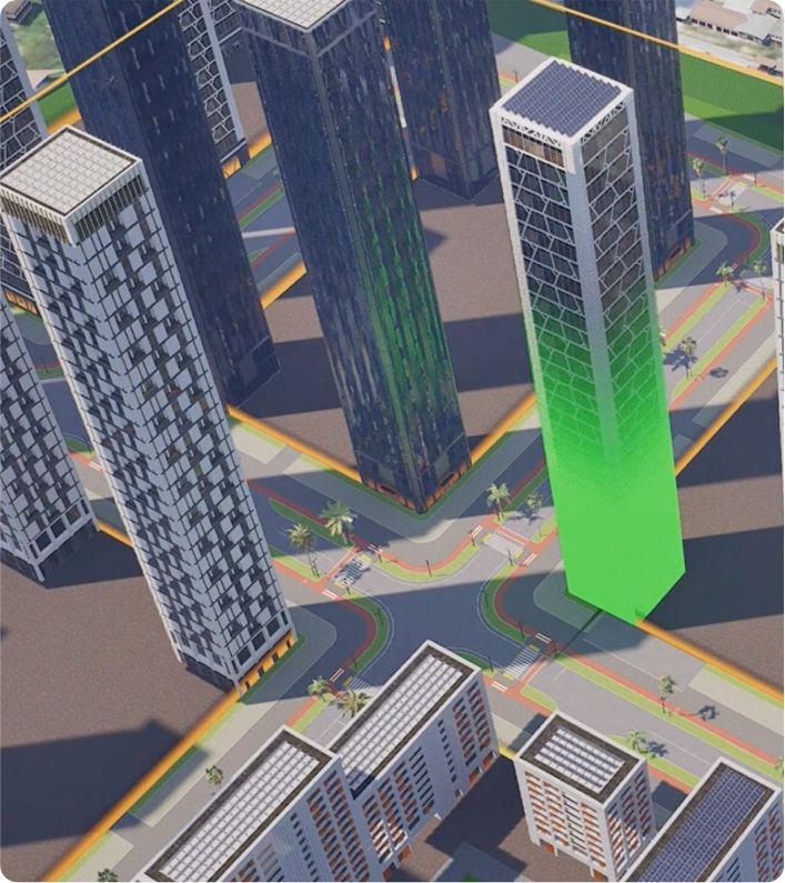
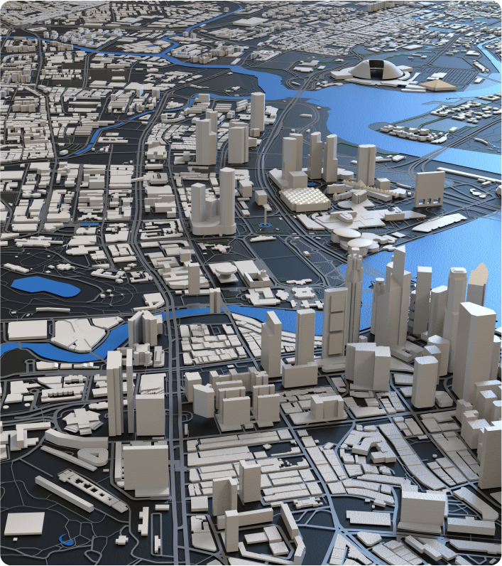
A live, persistent 3D twin of your project environment — surface, subsurface and location data unified in one real-time view for planning and decisions.

Reason and Act
Ask complex spatial questions in plain language. Our AI agents deliver grounded, explainable answers and better-informed decisions.

Sovereign and Secure
A pre-configured, cloud-enabled platform that scales with your needs — keeping your environment sovereign, secure, governed and current.

How it works
Three things that set SynTerra IQ apart
01
Data you can trust
Not all data is created equal. SynTerra IQ validates field and underground data at the point of collection and attaches a confidence score to every result — so your teams always know what's reliable, what's uncertain, and where risk actually sits.
02
Test before you commit
Before breaking ground, your teams can step inside a live 3D model of the project environment. Surface conditions, underground data, and operational context — all in one place, so you can simulate, plan, and align before anything is built.
03
See whats coming
Most location data tells you what exists now. SynTerra IQ adds the dimension of time — modeling how conditions, assets, and environments are likely to change — so your organisation can anticipate risk and act ahead of it.


PROJECT SHOWCASE
Recent projects by the SynTerra IQ Team
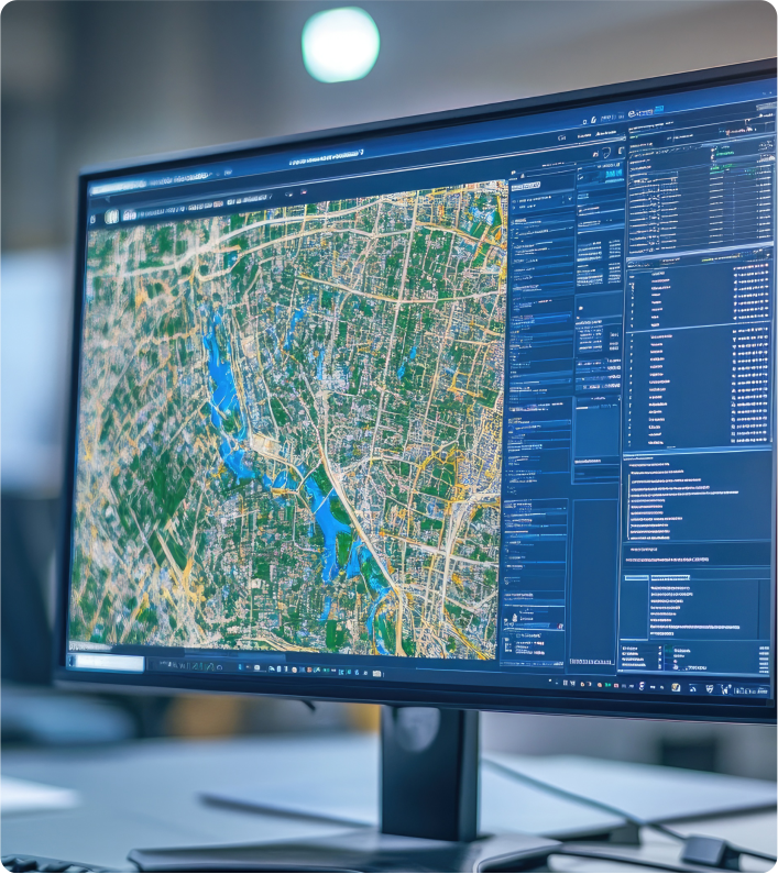
ABOUT US
LEADERSHIP TEAM
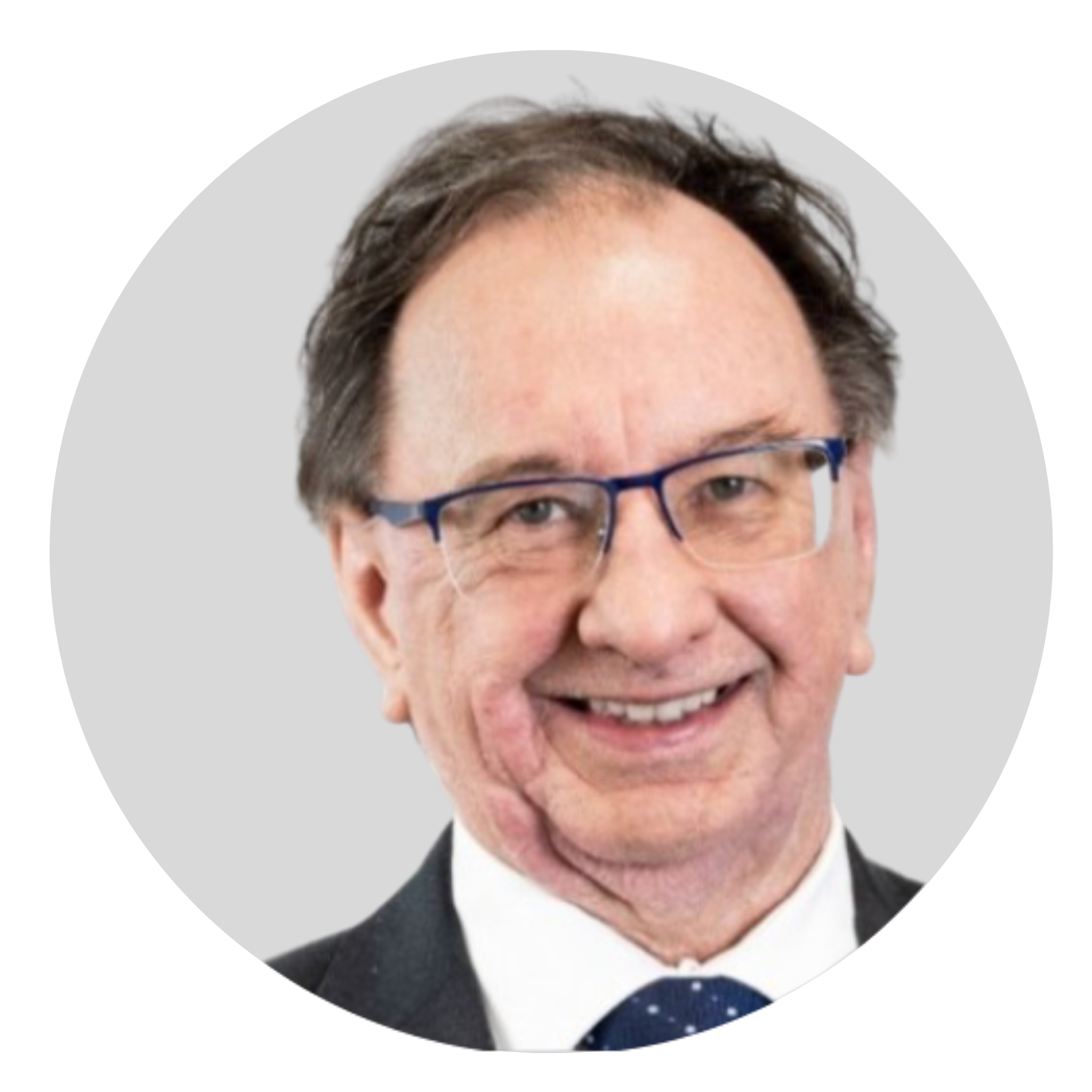
Dr Bradley McCusker
Board Member (AI & Reasoning)
Dr Pavel Entin
Board Member (Spatial Intelligence & Synthetic Environments)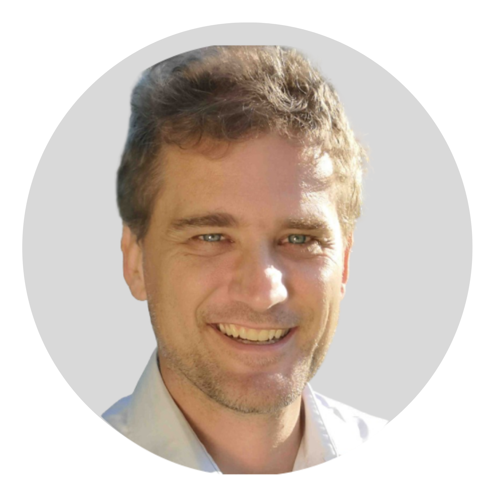
Jason Errey
Board Member (Ground Intelligence & Subsurface)
Ben Hodgson
Chairman