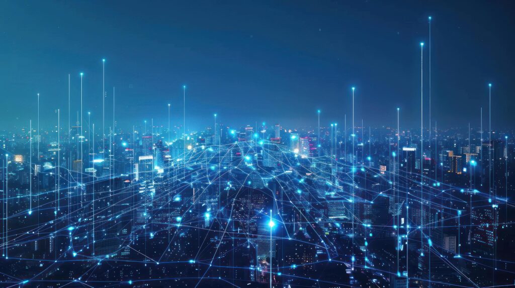
Smart Cities have invested heavily in connected infrastructure. Intelligent lighting, traffic management systems, IoT sensors, environmental monitoring, digital twins and AI analytics are generating unprecedented volumes of urban data. Yet many cities still struggle to transform this information into faster, more confident decisions.
The challenge is no longer collecting data—it is understanding how every asset, event and location is connected.
This is where SynTerra IQ, Australia’s first sovereign AI-native geospatial platform, is redefining the future of city operations.
Rather than functioning as another GIS or analytics tool, SynTerra IQ acts as a next-generation spatial operating system. It combines a sovereign Large Geospatial Model (LGM), GeoAI, synthetic earth twins, enterprise knowledge graphs, deterministic and probabilistic reasoning, and real-time IoT integration to create a living, intelligent, multi-layered representation of the city.
Unlike a Large Language Model, which understands words, a Large Geospatial Model understands geography. It learns the relationships between roads, utilities, buildings, underground infrastructure, environmental conditions and human movement, enabling AI to reason across both space and time.

By continuously integrating data from smart lighting, traffic systems, water and waste networks, air quality monitors, safety cameras and connected sensors, SynTerra IQ transforms disconnected information into explainable, confidence-scored intelligence.
Imagine a city preparing for severe weather. Rather than simply displaying maps and sensor feeds, SynTerra IQ predicts where flooding is most likely to occur, identifies the infrastructure most at risk, dynamically adjusts traffic signalling, optimises street lighting for emergency access, and recommends resource deployment—all before disruption occurs.
The same intelligence improves everyday operations by reducing traffic congestion, lowering street-light energy consumption, optimising waste collection, detecting water leaks earlier, improving public safety and supporting more sustainable urban planning.
Most importantly, city operators no longer need to navigate complex GIS systems. They simply ask questions in plain language and receive trusted, explainable answers grounded in real-time spatial intelligence.
As cities become more connected, success will depend not on deploying more sensors, but on connecting every data source into a single intelligent ecosystem.
SynTerra IQ delivers that vision—bringing together AI, geospatial intelligence and digital twins to help governments build smarter, safer and more sustainable cities with confidence.