
Geospatial data is quietly becoming one of the most valuable assets in modern organisations – but it is also one of the most fragmented.
Today, spatial information is scattered across service providers, technologies, outputs, formats, and geographies. A single project might draw on traditional GIS databases, GNSS and survey datasets, 360/LiDAR field capture, subsurface investigations, imagery, and digital twins – all delivered through different systems with different standards. The result is a patchwork of valuable but disconnected data that is difficult to align, trust, and reuse.
This complexity is not just a technical inconvenience; it has strategic consequences. Disconnected datasets create information silos between teams, vendors, and disciplines. Decision-makers face shorter windows to act, yet they often lack a coherent spatial picture in time to make the right call. At the same time, organisations are dealing with a shrinking pool of deeply trained geospatial specialists, while use cases continue to expand—from asset management and risk analysis to climate resilience, infrastructure planning, and operational optimisation.
The industry has responded by adding more tools: more viewers, more portals, more dashboards. But more tools without integration simply add another layer of complexity. What is needed now is not another point solution, but a new paradigm: a unified geospatial platform capable of spanning field data capture, virtualisation, analytics, intelligence, and reasoning.
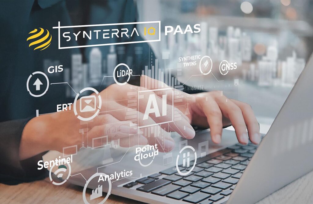
A single, vertically integrated Geospatial Platform as a Service can change the equation. By bringing GIS, mobile and sensor-based field capture, subsurface intelligence, digital twins, simulation environments, and AI-driven spatial reasoning into one environment, it turns fragmented data into a coherent, living system. Instead of shuttling between tools and teams, practitioners can move from evidence capture to analysis to decision support within one platform, with governance and provenance built in.
For geospatial professionals, this means less time reconciling formats and more time solving meaningful problems. For executives, it provides faster, clearer, and more defensible spatial intelligence to guide high-stakes decisions. And for the industry as a whole, it signals a shift from geospatial as a collection of specialist tools to geospatial as an integrated enterprise platform layer.
In a world where complexity is only increasing, the future belongs to those who can unify geospatial data, identify insights and add to geospatial knowledge, not just collect it. A single, integrated platform is how the geospatial industry will meet that challenge.